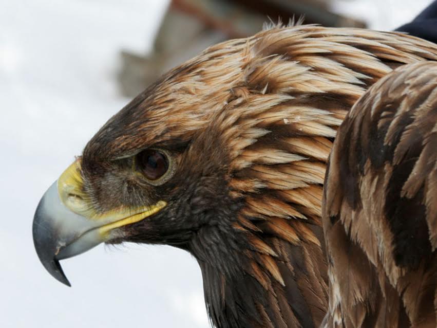
Little is known about movement and habitat usage of golden eagles wintering in upstate New York. Use of GPS transmitters has been shown to be a cost-effective way of gathering data on golden eagle movement and habitat usage. To date, ~50 golden Eagles have been fitted with transmitters by Dr. Katzner’s research group, providing information on the birds’ migration routes from Canada to the Appalachians, and wintering areas in Pennsylvania and south. However, none of these birds were captured in New York State.
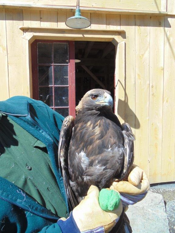
It is the goal of this project to understand habitat relationships and movements of golden eagles in New York State. To accomplish this goal, we aim to capture and telemeter golden eagles from the region. We will collect data on these birds for the life of the GPS-GSM transmitters. Analysis will proceed in four ways:

- Basic reviews of how birds use local habitat and terrain during winter. This work will be conducted within a Geographic Information System (GIS) and will evaluate linkages between animal movement and underlying habitat parameters.
- Analysis of winter resident golden eagles in NYS
- Analysis of winter home range of these birds using non-parametric statistical tools (Adaptive Localized Convex Hulls; ALoCoH) and tie these to habitat characteristics.
- Combine data from these local birds with data from those that winter further south. Goals include: predicting population-level migration patterns of eastern golden eagles through the Appalachian region; identifying how individual migrating golden eagles move in relation to landscapes and topography; and characterizing potential risk that migrating golden eagles and other raptors will encounter from development of wind power throughout the Appalachian region.
State and federal regulatory agencies, as well as wind power developers will be able to use the data to determine risk assessment from wind projects and other development. DOAS will use the information gained to expand our educational efforts on behalf of this important local species. Data from the wildlife cameras at research sites is used to choose trap sites and days, and is also used by Dr. Todd Katzner’s Appalachian Eagle Project.