Since this winter’s DOAS field trip to view Bald Eagles and other birds has been cancelled by Covid concerns, we are providing details and a map of the route generally taken on this trip, with good viewing locations noted. Those interested in looking for the concentration of eagles that gather around the Delaware County reservoirs and rivers can use this as a guide for their own adventure.
(Note that this guide follows the route and direction of the DOAS field trip, but there is no reason it could not be done in the opposite direction, or in partial segments.)
Please review “Eagle Viewing Etiquette” at the end of this route description. We do not want to overly disturb or otherwise impact these majestic birds while enjoying them.
Click here to download this page as a pdf file for printing.
The Google Map showing each point location is at the bottom of this page.
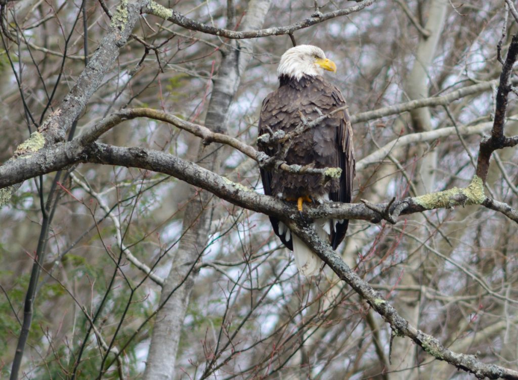
Bald Eagle numbers in this area build up as open water freezes over further north. This starts around the first of the year and the birds linger until a thaw begins, generally in March. We typically schedule the eagle trip for late January. Most of the birds present in winter are from the north, but there is a significant number of locally breeding birds that tend to stay near their nest sites all year if feeding areas are nearby.
In the event of a very cold winter, even these rivers can ice over, although that has happened only a couple of times in the 30+ years of our winter visits. In these conditions, many of the eagles depart to find open water—often the lower Hudson River.
The DOAS eagle trip starts in Oneonta and we travel to Delhi via Rte. 28 south. Eagles are not typically seen along this stretch, although on occasion they have been spotted on the Susquehanna River when leaving Oneonta. From Delhi we head south on Rte. 10, which parallels the West Branch of the Delaware River. Eagles are possible perched along the river or flying anywhere along the river. Watch the large sycamore trees for perched birds.
Near the Green Thumb nursery, about 6 miles from Delhi, there is an eagle nest in a tall evergreen on the front lawn of a residence on the east side of the road (Point 1 on the accompanying Google map). The nest tree is very close to the road and easily spotted. The pair of eagles here are not usually in the tree but may be perched across the road in trees along the river.
From here continue on Rte. 10 toward Walton, again watching for eagles along the river. A parking area on the left about 14 miles below Delhi is a good spot to pull off and scan for eagles (Point 2).
Continue into Walton, which is the last chance for a bathroom and gas stop for a good while. Continue on Rte. 10 for about 5 miles to the start of Cannonsville Reservoir (Point 3). (An alternative route from
Walton to here is to cross the river in Walton then take South River Rd. which parallels Rte. 10 on the other side of the river. The views are somewhat better from this side.)
The reservoir is usually frozen from January on, with little open water to attract eagles. However, occasionally there is a deer carcass on the ice or shore which is a great attractant for scavenging eagles. Also, at times areas will thaw and eagles can be seen on the ice feeding on fish or possibly waterfowl.
The bridge over the reservoir at the Trout Creek arm (Point 4) is another good spot to scan. Eagles have been spotted on the downstream end of Trout Creek. There are a number of scenic pulloffs along the reservoir, but vegetation is blocking the view from some of these.
About 4.5 miles past the Trout Creek bridge is a pulloff (Point 5) that provides a good view of the upstream side of the Cannonsville Dam. The deep water above the dam is often the last to freeze and may be open, with eagles perched along the shoreline or on the ice. Waterfowl, particularly Common Mergansers, can be seen here on open water.
Past the dam, Rte. 10 drops down with a deep gorge on the right where water is released from the dam. There is a pulloff on the right (Point 6) with a view of the top of the gorge, and the dam and valley below. This is a very popular place for eagles which feed on dead and injured fish that come out of the dam. They can be seen soaring, diving into the gorge, perched on both sides of the road and across the valley. Be sure to watch the skies both above and below the dam.
The next mile or so has a good view of the wide valley below the dam. All trees should be checked for birds. At the end of this stretch, the river comes very close to the road, near the Delaware Co. Highway Garage (Point 7). Eagles may be perched right next to the road here, and seen through the trees. Do not stop here, or the birds will likely fly, but will tolerate a slow drive-by.
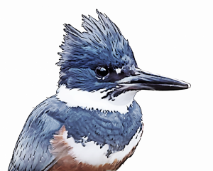
A short distance further on is the intersection with State Rte. 8. A right turn here immediately crosses the river, with views upstream and downstream (Point 8). Parking on the bridge for a short time is probably OK, but it is better to cross and park further along, then walk back. Waterfowl are usually present here also, and sometimes a Belted Kingfisher or Great Blue Heron has been spotted.
Immediately past the bridge turn right onto Neale Rd. This is a residential area, but riverside trees can be viewed through back yards. After ¾ of a mile, the road turns upward, with trees on the right (Point 9). These may have eagles perched close, similar to the Highway Garage area on the other side of the river. Drive slowly and check through the trees. Be sure to view from your vehicle here. The road dead ends about a half mile further on (Point 10), near the opposite end of the dam from Rte. 10. This used to provide a good view of the river and valley, but trees are now limiting the view.
Make a U-turn and return to the intersection with Rte. 8. Turn left, cross the bridge again, then turn right onto Laurel Bank Rd. This quickly turns to run right next to the river, with clear views. A variety of ducks and geese can be found along here, and about a third of a mile from the turn is a fishing access area. Across the river, in the tallest pine, is an easily viewed eagle nest (Point 11). Often the pair of eagles has been perched in the tree on the eagle trip. They provide terrific photo opportunities if present. They also seem quite accustomed to the presence of humans.
Continue along Laurel Bank Rd., watching for eagles, particularly near its intersection with Pine St. (Point 12). Continue across the intersection on Laurel Bank, which changes to Airport Rd. after it passes under Rte. 17. The road stays close to the river along here and eagles are possible anywhere (Point 13). When you reach a DEC fishing access parking lot, turn around and return to the Laurel Bank/Pine St. intersection. Turn right, then right again to head towards Rte. 17. There is a convenience store and restaurants here that make for a timely pit stop.
Continue on a short distance to the entrance to Rte. 17 (I-86) east. Take this entrance for the 24 mile drive to East Branch (Exit 90). Eagles may be seen along Rte. 17 (Point 14), but this is a high-speed road so care should be taken in stopping. Generally we are past a spotted eagle before we could stop anyway, so just enjoy them from the moving vehicle.
Exit Rte. 17 at East Branch (Stop 15). This the start of Rte. 30 north, which follows the East Branch of the Delaware River to Downsville. Reportedly there is a new eagle viewing area in East Branch, but we haven’t checked it out, so don’t know details. Take Rte. 30 north–eagles can be found all along this stretch, often at very close range, so stay in your vehicle when birds are spotted or they will likely flush.
This valley is very narrow and the road has limited shoulders–take care when stopping. Check the bridges and pulloffs along Rte. 30 for views of the river (Point 16).
When you reach Downsville, turn right at the stop light and continue to a bridge over the river, below the Pepacton dam (Point 17). Check the river downstream and particularly upstream towards the dam for perched eagles.
Continue on Rte. 30 to the top of the dam, which provides a view of the Pepacton Reservoir (Point 18). However, the reservoir is generally frozen in winter, so eagles are less likely.
This is the end of the trip. Return from here to Downsville, then to Walton, or Rte. 17, or Hamden/Delhi to Oneonta.
Eagle Viewing Etiquette
Courtesy of NYS DEC
- Remain in or immediately next to your vehicle, and don’t approach eagles closer than a quarter mile. Avoid roosting areas.
- Refrain from loud noises: honking horns, door slamming, radios playing, yelling, etc.
- Keep pets at home.
- Use binoculars or spotting scopes instead of trying to get a little closer.
- Don’t do anything to try to make the bird fly.
- Respect private property and avoid restricted areas.